



CENTRAL TEXAS — September is shaping up to be a scorcher this year, but a little relief is on the way. Tuesday broke the record for the hottest September 15th, at 102 degrees. Previously the record was 101 in 2024. Today's high is expected to reach 100 degrees. If it hits at least 101 we will tie the record from 1980.
There is a heat advisory in effect for all counties along the I-35 corridor except Williamson. All counties east of I-35 in Central Texas remain under a heat advisory with the heat index expected to reach 106 degrees. The Brazos Valley is no longer meeting the criteria for a heat advisory, although it will feel above 100 degrees after factoring in the humidity.
Several counties are under a high fire threat in Central Texas. Most areas of Williamson, Burnet, Coryell, Lampass, Hamilton, Bosque , Hill and McLennan are in the high risk category. The remainder of Central Texas and the Brazos Valley is under a moderate risk with a few hot spots remaining high in other counties.
UPDATE: As of 6:30 a.m. Wednesday, the Hydra Fire in Bosque County is 25% contained and has burned 1100 acres.
Rain chances remain slim to none throughout Central Texas until Monday when a cold front tries to make its way through. There is a 20% chance for rain Monday and Tuesday for both Central Texas and the Brazos Valley. The Brazos also has a 20% chance for a sea breeze driven pop-up shower this Thursday afternoon.
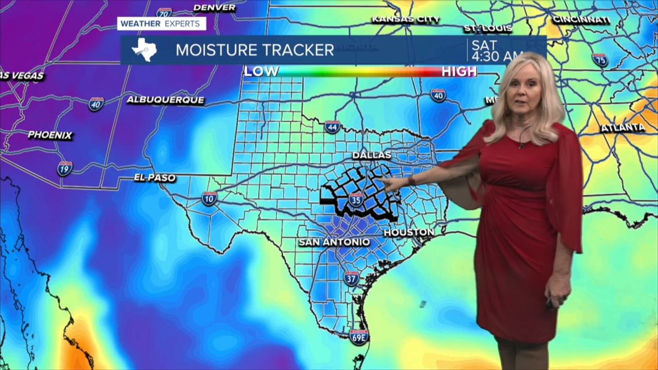
The drought remains moderate to severe in most of Central Texas and rain is needed. Temperatures will continue to around 100 degrees for the next few days with feels like temperatures between 102 to 105 degrees. Saturday will feel the most comfortable due to dry air moving through. Next week we could see a small drop in heat and return to the mid to upper 90s.
Want this forecast delivered to your inbox each morning? Sign up for the daily forecast email newsletter here.
