

25 EVENING WEATHER — Tonight should be cool across the region as lows fall into the mid 40s under mostly clear skies. Friday, a cold front will start to move into the area during the afternoon hours. Highs will be in the low to mid 60s for Central Texas and close to 70° in Brazos Valley. Once the wind shifts, it will pick up out of the north at 15-25mph.
The weekend forecast is a little tricky. Cloud cover is the big question mark for Saturday. If it is mostly cloudy, then highs will likely be in the 40s. If we see some sunshine, then we may make it into the low 50s. Either way, it will be much cooler across the area. There will be a strong disturbance move over the top of Central Texas Saturday afternoon and evening, but the lowest 10,000 feet of the atmosphere looks quite dry. With that, it will be hard to get any precipitation to the surface the way it stands right now.
Sunday will start off cold as skies clear across the region. We should start off in the mid to upper 20s, but southwest winds and sunshine should get us back into the upper 50s Sunday afternoon.
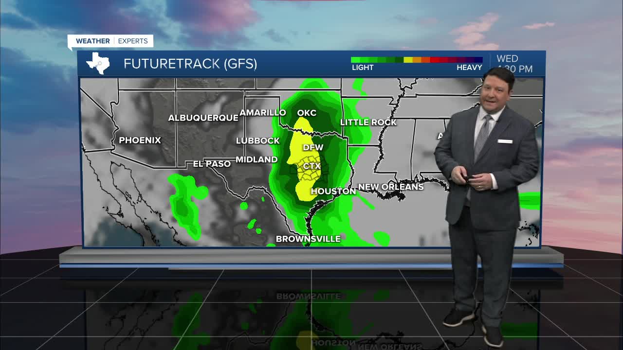
Our next weather maker may come by the middle of next week. Right now it appears that Wednesday could bring scattered showers back to the area.
Want this forecast delivered to your inbox each morning? Sign up for the daily forecast email newsletter here.
