

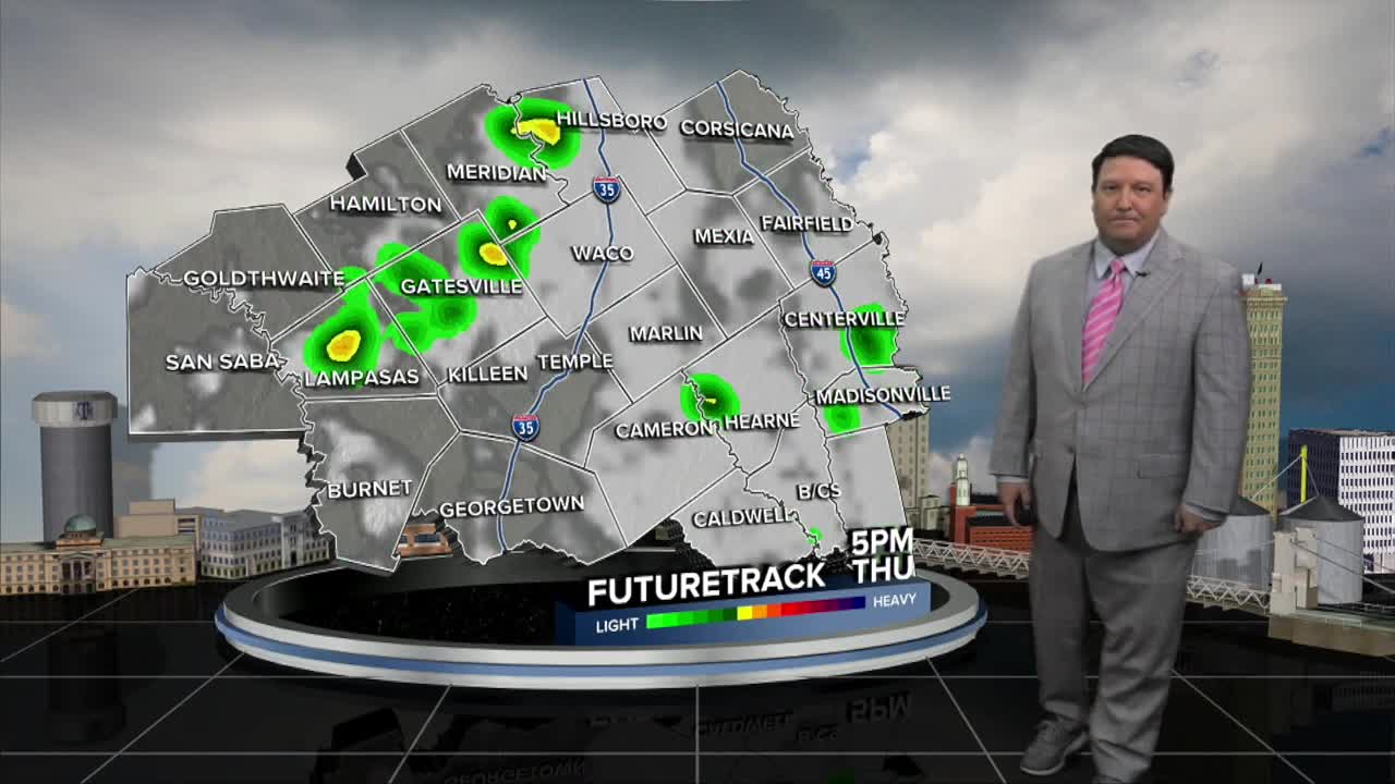


25 EVENING WEATHER — Edouard has been a sneaky storm, having a mind of it's own when it comes to exact track. A wobble to the east brought more 90s and 100s and less rain Wednesday. We should see our summer heat dome move over Oklahoma as we head into Thursday and Friday. We will be on the south side of the ridge, so we should see the steering currents slowly push Edouard's moisture west into our area. How much of the storm will still be intact is in question, so future adjustments to the forecast may be needed as we get into Thursday and Friday.
Tonight should bring a few showers to the area, especially east of I-35. Some locally heavy rain is possible along the I-45 corridor. Lows will fall into the mid to upper 70s.
Thursday is expected to be a bit cooler, with highs in the 90s since we should see more cloud cover and scattered showers and storms around. Locally heavy downpours will once again be possible in some locations, while others stay on the drier side. The same conditions may exist Friday as well, so hopefully some areas can get some rain. Remember, the farther east you are, the better your rain chances will be.
We should see things start to clear out for your holiday weekend. There still could be a couple of isolated storms Saturday with highs in the mid to upper 90s. Sunday and Monday, highs will be in the upper 90s to around 100° under mostly sunny skies.
Want this forecast delivered to your inbox each morning? Sign up for the daily forecast email newsletter here.
