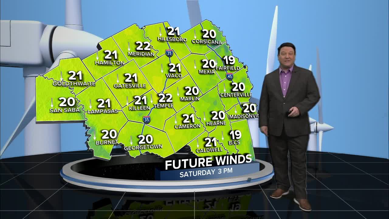


25 EVENING WEATHER — A cold front brought cooler temperatures Friday, and this will last into the weekend. It will be mostly cloudy tonight with lows in the upper 40s and low 50s. We will see decreasing clouds Saturday with breezy northwest winds at 15-25mph. Highs will be a bit warmer in the upper 60s. Northerly winds will continue to bring in cooler weather into Sunday. We will start off in the mid to upper 30s Sunday morning and end up in the low 60s Sunday afternoon under mostly sunny skies.
Monday morning is looking quite chilly. In fact, a few temperatures could be at or below freezing Monday morning, especially across the northern half of Central Texas. It will be short lived because highs will be in the low to mid 60s Monday afternoon.
The rest of next week looks nice. Highs will be in the low to mid 70s Tuesday, low 80s Wednesday, and 70s Thursday into Friday. Another cold front may knock temperatures back again as we head through next weekend.
Have a great weekend!
Want this forecast delivered to your inbox each morning? Sign up for the daily forecast email newsletter here.
