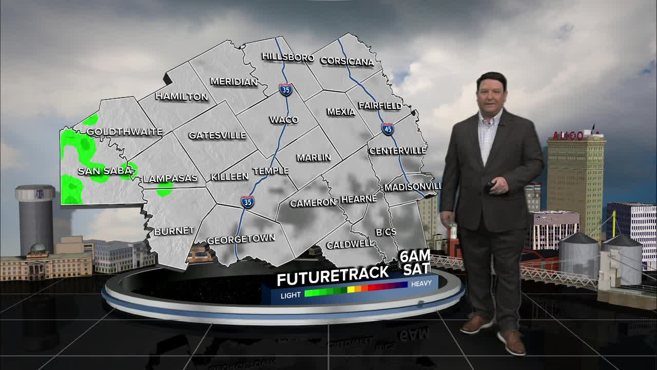


25 EVENING WEATHER — A cold front will slice through the region tonight and bring gusty north winds, sprinkles, and falling temperatures. We should fall into the low to mid 50s by morning. Saturday will be mostly cloudy with a chance for a couple of isolated showers in the morning. Highs will be in the low 60s, but there could be a few places that stay in the 50s if the clouds stay thicker at any one location. It's right back to southerly winds and warm Sunday with highs in the low 80s.
Next week will start off quiet with highs in the mid 80s Monday and Tuesday under partly cloudy skies. The models are still struggling beyond this time-frame with disturbances that will move across Central Texas by the middle to end of the week. There seems to be some growing consensus that we could see a few storms late Wednesday into Thursday as a front works its way into the area, so I upped rain chances to 30-40% here. After that, it's all about another front that will either come in late Friday into Saturday or Easter Sunday. We will continue to track this part of the forecast closely. It does appear it will be a cooler Easter weekend as of now with at least some slight rain chances. Stay tuned...
Want this forecast delivered to your inbox each morning? Sign up for the daily forecast email newsletter here.
