

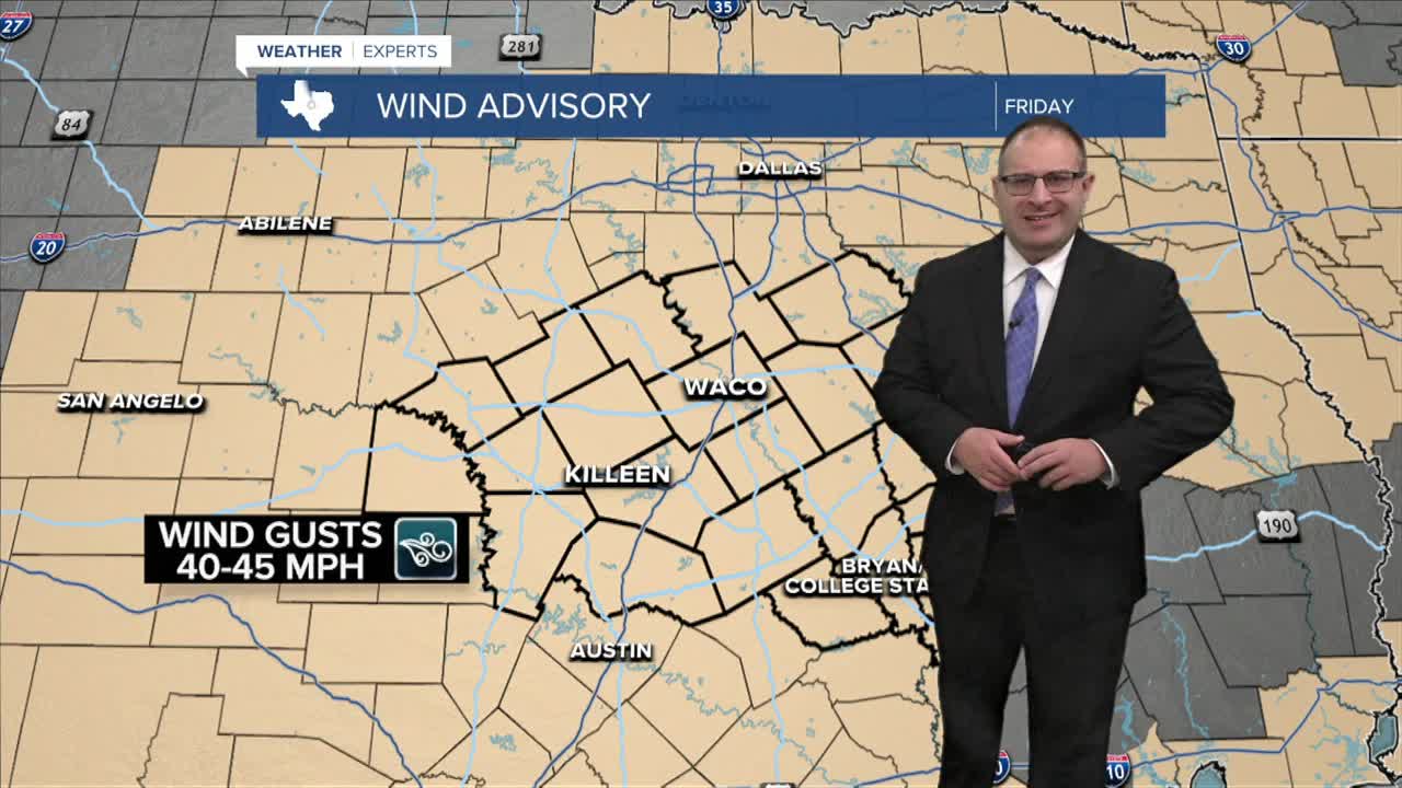


CENTRAL TEXAS — All of Central Texas is under a Wind Advisory Friday, as strong wind gusts rise to 45mph due to an advancing cold front. The cold front itself will pass through the region between 10pm tonight for our northwestern counties, to around 6am Friday in the Brazos Valley. The main feature is going to be the strong winds which will be present from the onset of the cold front, through about 5-7pm Friday night. It's recommended to pick up any light-loose object in your yard tonight before the winds start gusting. That means trash cans and sports equipment should be placed back in the garage. And patio furniture and trampolines should be anchored down and protected. These winds are strong enough to pick up and throw these light weight objects... but not strong enough to cause severe damage like tree damage or power outages.
As for rainfall, as of 6pm, there are thunderstorms closing in on Mineral Wells in north Texas, and moving ever closer to our northern communities like Goldthwaite, Hamilton, and Meridian. This northern most area may get rain before midnight as the cold front presses through. However, most of the rain and storms will fizzle out fast with little to no rain expected around Gatesville, Waco, and southward.
Temperatures will plummet fast! Lows tonight will first drop to around 60 degrees by 7am Friday. But temperatures stay in the 60s all day long thanks to the strong northerly winds pushing colder air at Central Texas. Then Friday night... it gets COLD! Temps will drop into the upper- 40s for the first time since early May. It stays cool and Autumn-like (because it is Autumn) this weekend. High temperatures on Saturday stay in the 60s, with lows in the 40s again Saturday night. Sunday will be a tick warmer in the 70s.
Who's ready for Fall weather, because I certainly am!
- 25 News Meteorologist Thomas Patrick
Want this forecast delivered to your inbox each morning? Sign up for the daily forecast email newsletter here.
