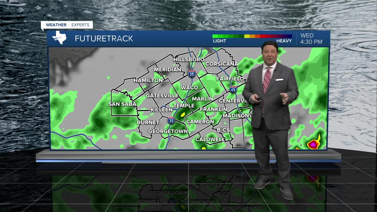


25 EVENING WEATHER — Fall will start to feel more like fall as we head into Wednesday. We will be ahead of a cold front tonight, so it will still be warm with lows in the mid 70s. A few showers and storms could develop this evening to our north, and we may see a couple of those storms move into areas north of Waco around midnight. The better chance of rain and a few storms is expected to arrive closer to sunrise Wednesday morning. Wednesday may start off wet, so be prepared for that during the morning commute in Central Texas. Rain chances will decrease from north to south as we make our way into Wednesday afternoon. North winds will blow in some cooler air, so highs should only make it into the low 80s. The exception to this will be in the Brazos Valley. The front will not arrive until lunchtime, so highs should still be in the upper 80s to near 90°.
We should clear out as we head into Thursday and Friday. Highs will make it into the upper 80s with lows in the low to mid 60s each day.
The weekend will bring more of the same. Highs should be in the low 90s Saturday and Sunday, but lows will still be in the low to mid 60s. So, it you want that true fall feel, make sure you are outside during the morning hours heading into the weekend!
