

25 EVENING WEATHER — Clouds will be on the increase tonight with lows in the mid to upper 50s. We are expecting mostly cloudy skies Friday, but we should stay dry. Highs will be warm in the upper 70s and low 80s with a south to southeast wind at 10-20mph.
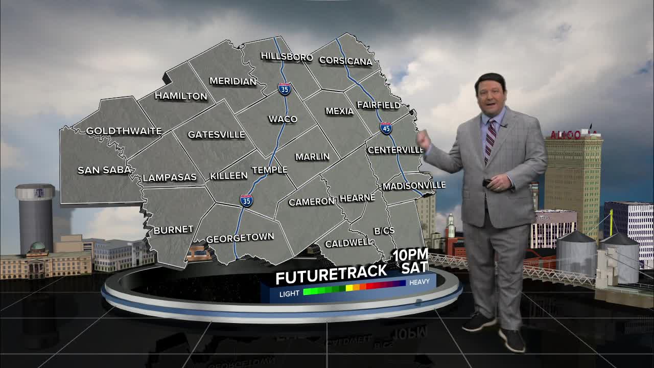
Valentine's Day Saturday is looking wet. Showers and storms should develop across areas west of I-35 Friday morning. This activity will spread east through the afternoon hours. Showers and storms are expected to become more numerous east of I-35 as the day progresses. Rain totals of a quarter to half an inch are possible west of I-35 and a half inch to an inch east of I-35. The one inch plus totals should be from I-45 on into east Texas. There will be quite a bit of wind energy associated with this system. That means any showers and storms will have the potential to produce gusty winds. The overall severe threat looks low because other severe weather factors seem to be on the low side. I'm not going to rule out a few gusts near severe levels (60mph), but this should be isolated in nature. Highs will be in the upper 60s and low 70s Saturday afternoon.
Sunday will be quite a bit better as the storm system exits off to the east. This will bring clearing conditions with highs in the low 70s. Winds will be out of the northwest at 10-20mph with higher gusts Sunday afternoon.
Want this forecast delivered to your inbox each morning? Sign up for the daily forecast email newsletter here.
