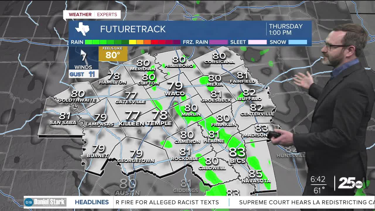


CENTRAL TEXAS — Clouds will be on the increase Thursday keeping us away from the 90s with a cold front on the way this weekend.
THE BREAKDOWN:
- Clouds increase leading to cooler temperatures this afternoon, but not by much.
- Heating up for the weekend. Mid 90s possible Saturday.
- A few cold fronts slowly work cooler air in next week.
Good morning! We're waking up to lows in the 50s and the 60s this morning thanks to clear skies. Enjoy the sunshine during the first half of the day, because clouds will be on the increase through the day. That should stunt our warm up this afternoon, keeping us in the upper 80s versus the lower 90s. I don't expect rain out of these clouds, but they may be thick in spots. This is all in response to deepening low pressure in the Rockies, which will eventually shoot a cold front towards us this weekend. Ahead of that front, it will be hot Saturday, with southwest winds pushing us into the mid 90s.
The first of a few fronts passes overnight Saturday into Sunday, bringing a small chance of an isolated shower or storm late Saturday and leaving Sunday in the mid 80s with drier air. Sunday will be a stellar day to do anything outside with low humidity. With the core of that front (and all of them next week) passing to the north, don't expect a big or long-lasting cool down. Temperatures will warm again Monday before two more fronts work in next week, which basically keep us in the mid 80s for a good chunk of next week into the weekend. The second front, Thursday brings some small rain chances, but still nothing that looks impressive. We're still searching for that first strong cold front, but this is a step in the right direction!
Have a great Thursday!
Meteorologist Josh Johns
25 Weather
