

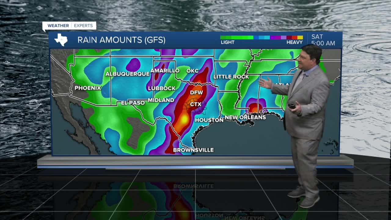


25 EVENING WEATHER — The heat continues across the area, at least for two more days. Then, it's time for a change! Our next storm system should arrive late Wednesday and last through the weekend. 2-4 inches of rain are possible, with locally higher totals, along and west of I-35. Lighter amounts in the 1-3 inch range are expected to the east and in the Brazos Valley.
TUESDAY: Hot and humid again with highs in the mid 90s.
WEDNESDAY: Still hot and humid with highs in the mid 90s, but rain chances will increase for areas west of I-35 late in the afternoon and evening hours. Rain and thunderstorms should spread east through Wednesday night.
THURSDAY: This is where the heaviest rain will likely fall. Rain will spread across the area through the day. The heaviest rain will likely be along and west of I-35, but we should all get some rain throughout the day. Highs should be lower in the mid 80s.
FRIDAY: Rain and storms will continue Thursday night into Friday morning before tapering off to showers Friday afternoon. With the clouds and rain, highs will likely be in the upper 70s and low 80s.
SATURDAY & SUNDAY: Partly to mostly cloudy skies are expected with a few scattered showers still possible. Highs will be below normal in the upper 70s and low 80s.
Want this forecast delivered to your inbox each morning? Sign up for the daily forecast email newsletter here.
