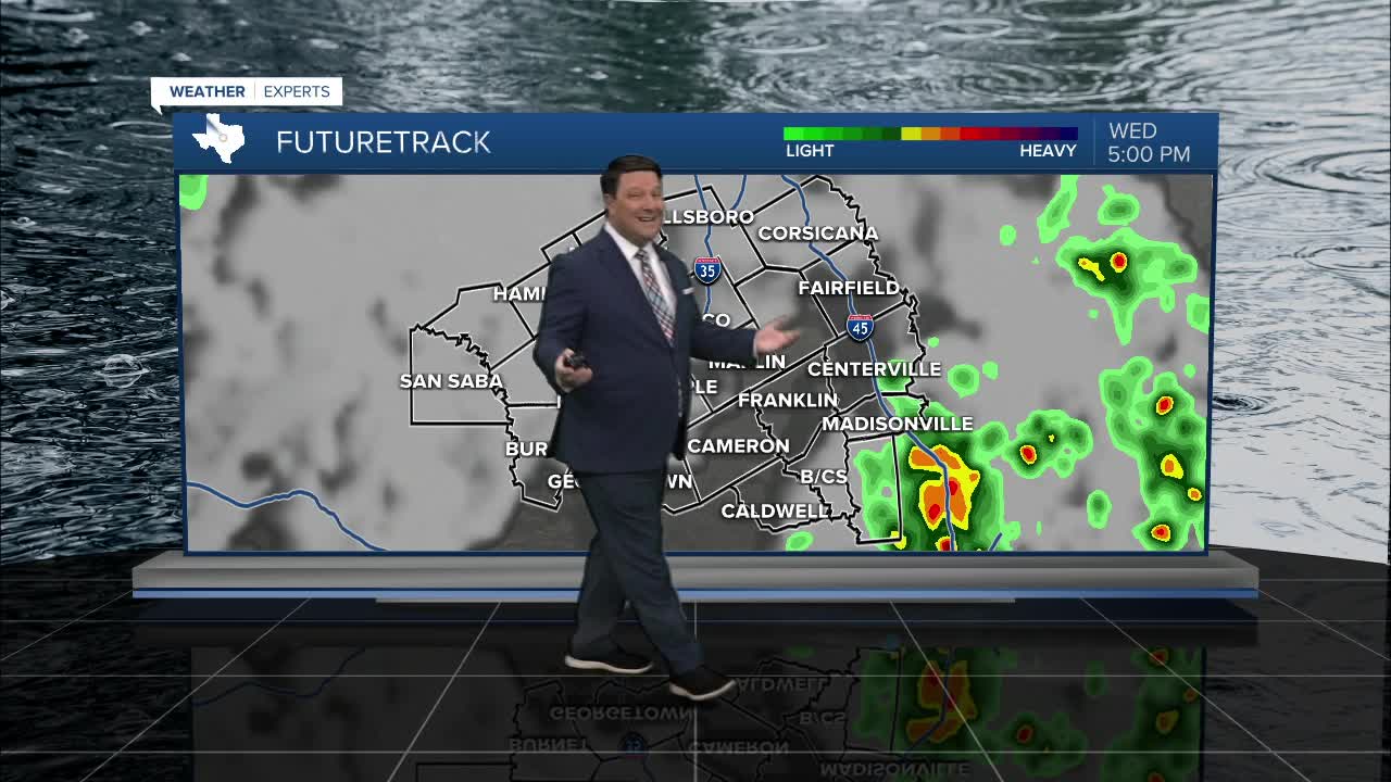


25 EVENING WEATHER — Rain chances are back in the forecast. The best rain chances will be Wednesday night and again Saturday. A few strong storms are possible, but the overall severe threat in our area should be on the lower side.
Tonight looks mild and humid with lows in the upper 60s. Wednesday will be partly cloudy, warm, and breezy with highs in the upper 80s. Any storm activity will likely develop well west of our area Wednesday afternoon, so most of us won't see anything during the daylight hours. A line of showers and storms is expected to organize in west Texas and move toward Central Texas around midnight. Some of the storms could be strong with gusty winds and hail, but there should be a weakening trend to the line as it pushes deeper into Central Texas early Thursday morning. This will leave most of the area with just thunder, lightning, and brief heavy rain Thursday morning. Storms should decrease into Thursday afternoon with highs in the low 80s.
Friday we should be in-between systems, but there could be a couple of storms across our northern and western areas Friday afternoon and evening. The better chance of storms will arrive Saturday as a cold front sweeps across Central Texas. With the speed of the front, a few stronger storms are possible, but storms will have a hard time staying ahead of the front. That usually means a lower severe weather risk. We will continue to watch this as we get closer. Highs Saturday will be in the low 70s as the front moves through the region. Most of the rain will be south of us as we head into Easter Sunday. There still could be a few morning showers around with temperatures in the low 50s. Clouds should keep us below normal Sunday afternoon with highs in the mid to upper 60s.
Want this forecast delivered to your inbox each morning? Sign up for the daily forecast email newsletter here.
