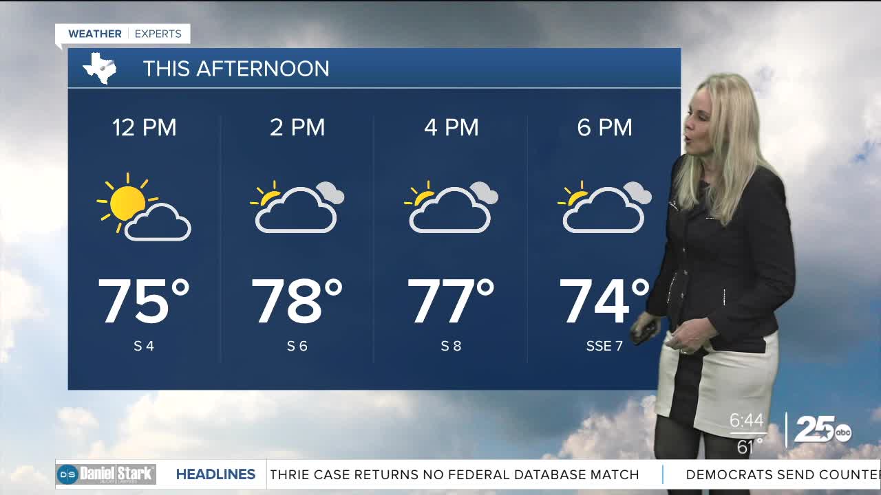


CENTRAL TEXAS — Central Texans are waking up to mild temperatures in the 50s and 60s on this Wednesday. We will see a mixture of clouds and sunshine. The cloud coverage will help cap the high temperatures which will keep us feeling warm instead of hot.
Expect highs in the low 80s for Wednesday. The winds are back to normal with speeds between five and 10 mph. They will arrive from the south which will help fuel those temperatures into the 80s.
A little fog is expected just east of I-35 in the middle of Central Texas. Areas near Temple and Marlin may see a decrease in visibility. The fog should dissipate by 9am.
Thursday will have high temperatures in the 80s. But the main take away is the relative humidity will drop to below 15%. This will make conditions dangerously susceptible to fires. The positive news is wind speeds will not be high. We are likely to see grass fire advisories issued.
Moisture returns to the atmosphere Friday. This will help level out the humidity. Despite a front moving in, rain chances remain slim at 20%.
Temperatures will dip down to levels more in line with average conditions for February as we head into the weekend. Expect highs in the 60s for the weekend and the beginning of the work week. Low temperatures will briefly hit the upper 30s with the quick blast of cold air coming from the north.
Want this forecast delivered to your inbox each morning? Sign up for the daily forecast email newsletter here.
