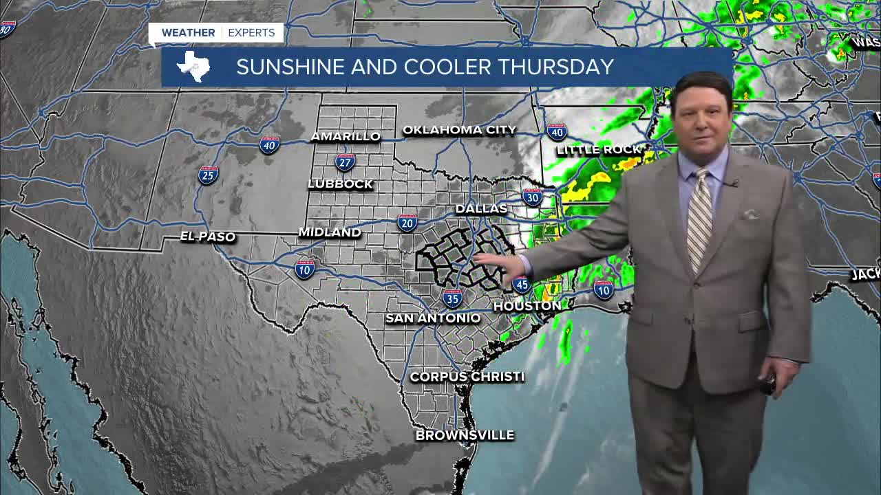


25 EVENING WEATHER — The upper low will pass over Central Texas through the evening hours. We may see an isolated shower or storm, but the bigger story will be the passage of a cold front. Winds will pick up into the 20-30mph range with gusts up to 40mph possible this evening. Lows by morning will be in the low 40s, but wind chills will be in the low 30s. The wind will back off into the 10-20mph range Thursday under sunny skies. This will allow highs to rise into the mid 60s by afternoon. It's back to the low to mid 40s Friday morning.
We will warm up quickly Friday with southerly winds and sunshine. Highs will rise into the upper 70s during the afternoon hours. It's back to the low 80s Saturday and mid 80s Sunday, ahead of our next cold front.
Our next front is slated for late Sunday afternoon. Highs ahead of the front will be very warm in the mid to upper 80s. As the front moves through, winds will pick up out of the north and gust up to 40mph. Temperatures will fall close to 40° Monday morning with wind chills in the upper 20s and low 30s. Clouds and north winds Monday may keep highs in the 50s! If skies clear out enough Monday night, we could be looking at some frosty conditions with lows in the low to mid 30s. Other than a slight chance of a shower late Sunday in the Brazos Valley, the next ten days look dry across the region.
Want this forecast delivered to your inbox each morning? Sign up for the daily forecast email newsletter here.
