

CENTRAL TEXAS — Central Texans are finally waking up to milder temperatures on this Thursday morning. The warmer conditions are a welcome change considering a few days ago there was a freeze warning with a record low of 26. This climb in heat will continue as we officially return to Spring on Friday.
We are heading into the hottest stretch of the year so far, with temperatures threatening daily records all weekend. An unseasonably strong ridge of high pressure centered over the Southwest will keep a warm and dry air mass in place. This setup will prevent any storms from entering our area and give us plenty of daytime heating.
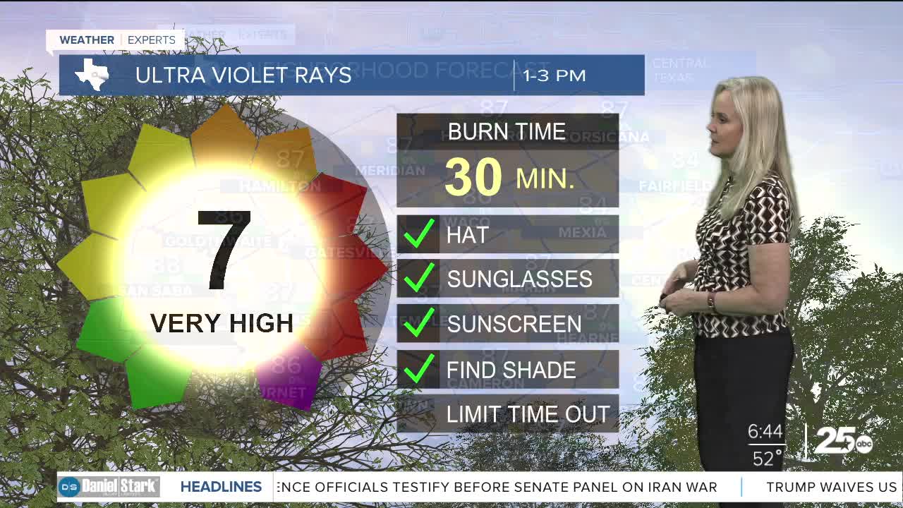
The warm-up continues today as southerly winds return, pushing temperatures about ten degrees higher than yesterday. Highs will climb into the 80s across the area.
Although wind speeds have decreased over the last few days, the temperatures, low humidity, and very dry vegetation is keeping an elevated fire weather threat in place, especially along and west of Interstate 35. We are mostly seeing a moderate fire danger threat.
Tonight night will remain mild with temperatures in the 70s around sunset. As we kick off the first day of Spring on Friday, we will likely see record high temperatures all weekend. Even though the dry air means heat index values will stay close to the actual air temperature, it will still feet hot with the abundant sunshine.
This story was reported on-air by a Meteorologist and has been converted to this platform with the assistance of AI. Our editorial team verifies all reporting on all platforms for fairness and accuracy.
Want this forecast delivered to your inbox each morning? Sign up for the daily forecast email newsletter here.
