

25 EVENING WEATHER — It was a hot and breezy one Monday, but things will change again tonight. A cold front will bring cooler air and a north wind as we head into Tuesday. Lows tonight will fall into the low 60s, but we should only see the mid 80s Tuesday afternoon. Wednesday looks nice as well with lows in the upper 40s and low 50s and highs in the mid 80s.
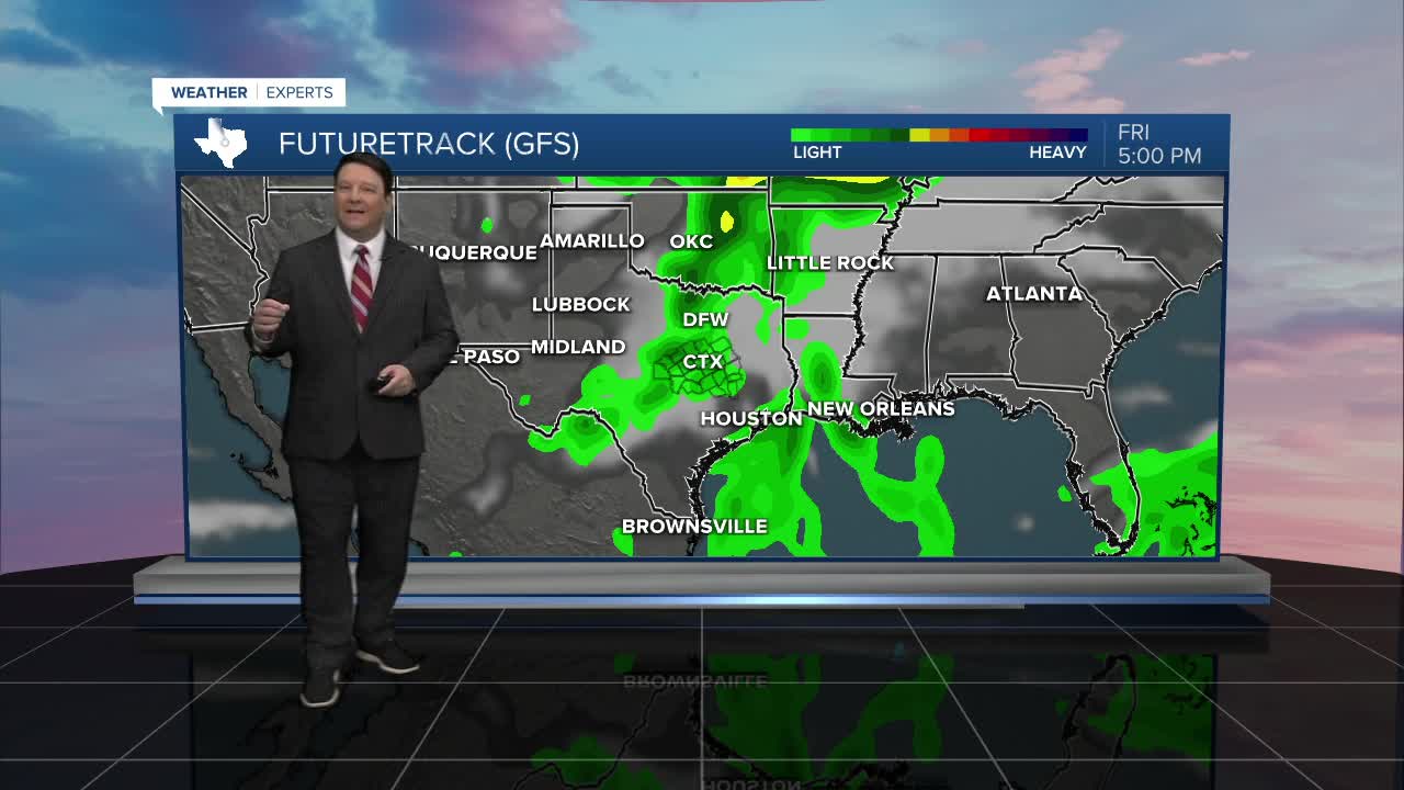
Thursday will warm up a bit as we climb back into the upper 80s, but it won't last. Clouds should increase Thursday night into Friday. Most of the day Friday looks dry, but scattered showers and storms may start to develop by mid-afternoon and last into Friday night. This may have impacts on Friday evening plans, so stay tuned! Friday looks a touch cooler with more clouds, so highs will fall back into the mid 80s.
A few showers may linger into Saturday morning, but we should see clearing Saturday afternoon into Sunday. Highs should be around 80° Saturday and the mid 80s Sunday.
Next week, most models have a big pattern change for most of the US. This may have a significant impact on temperatures next Tuesday through the rest of the week. If you have been wanting fall, this may be our shot! Stay tuned...
