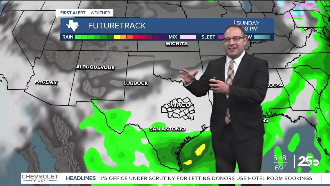


CENTRAL TEXAS — Happy Easter Central Texas. It was a colder start to the day, with a low of 49 in Waco. But that rebounded nicely to 70 this afternoon. Most of Central Texas stayed in the upper 60s today, with a few sprinkles in the Brazos Valley. College Station picked up 0.04" of rain... a far cry from the soaker we had Saturday.
Dry weather conditions, low humidity, will result in amazing Spring weather this week with a few colder mornings as you'd expect. Monday morning temps will be quite similar to today, upper 40s for most of the region. But with mostly sunny skies, temps will hit the low 70s. That's about as good as it gets and it's close to seasonal averages for early April, the average high temperatures being 76 degrees. This type of weather carries through Thursday with a small tick up in temperatures into the upper 70s.
Starting Friday, our region will start to experience active weather and chances for storms. Unfortunately, any precise details about these storms including time and severity are just not known yet. All we know for now is that a cold front stalls in the central plains, a dry line will be in place across Texas, and humidity increases with dew points into the 60s. So in general, you'll notice storm chances between about Friday, April 10th, to Monday or Tuesday for the following week, April 13-14.
- 25 News Meteorologist Thomas Patrick
Want this forecast delivered to your inbox each morning? Sign up for the daily forecast email newsletter here.
