

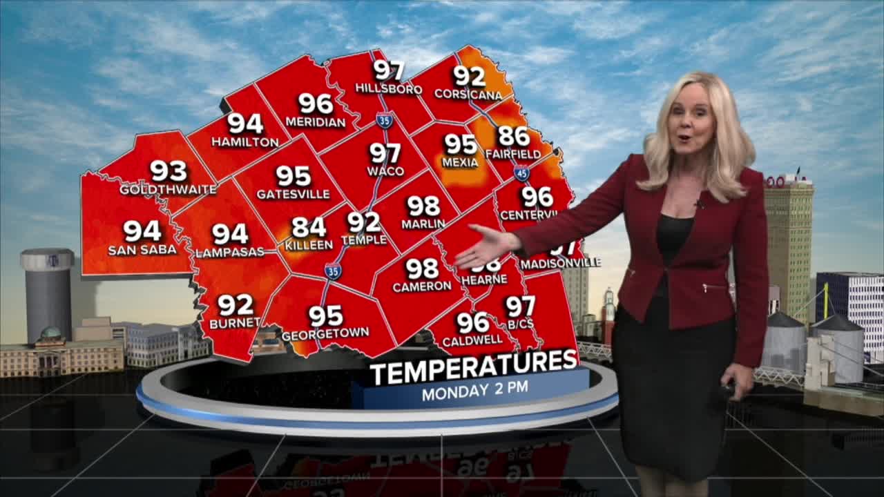


CENTRAL TEXAS — The last day of summer will end with a weak cold front slightly cooling Central Texas and the Brazos Valley. Scattered showers are expected this afternoon with the models giving the I-35 corridor and the eastern counties the best chances for rain. Any. precipitation is welcome, as most of Central Texas is in a moderate to severe drought. There is a lot of heat and humidity today to help fuel any storms.
On Sunday, the western and northwest counties received less than and inch to a couple hot spots in Hamilton county indicating 3 inches of rain from the radar. The models are switching sides today, so hopefully the eastern counties will get that much needed rain. It won't be significant and some areas may stay completely dry. We could also experience a bit of rain in the afternoon on Tuesday and Wednesday. The Brazos Valley is also in the picture for a few afternoon storms. Humidity is on the upside today and tomorrow. That will push the heat index above 100 degrees. Then on Wednesday we see a big dip to the mid to lower 60s in dew points. Temperatures drop to the mid 90s and the feels like temperatures will fall below the triple digits, and land much closer to the air temperature.
The average high temperature for the first day of fall is 89 degrees, so we remain several degrees above the norm as we transition into fall.
Meanwhile, Tropical Storm Fay churns in teh Atlantic Ocean. It will not be a factor for the United States or any of its territories.
Want this forecast delivered to your inbox each morning? Sign up for the daily forecast email newsletter here.
