

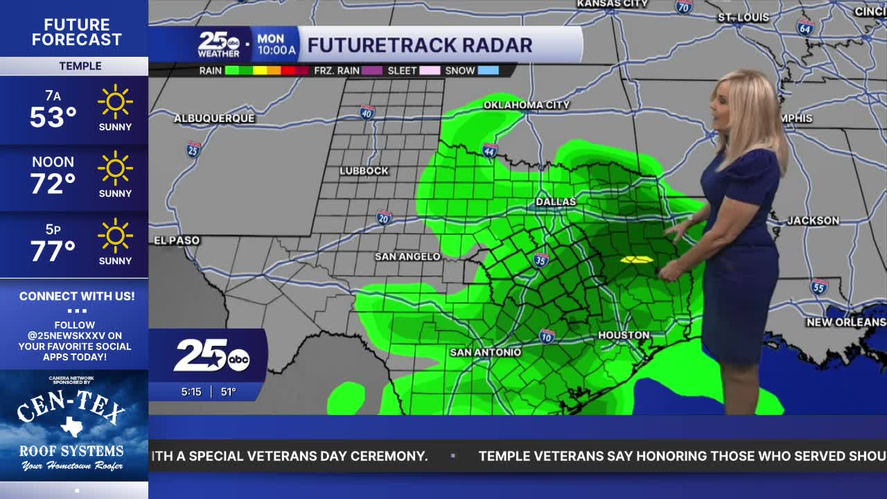


Plenty of sunshine is headlining Thursday's weather ticket. Temperatures will drop a few degrees compared to yesterday's high of 79. A weak and dry front is passing through, which takes us to the mid-70s. Friday morning will be a bit chillier, with many areas waking up to the upper 40s. We return to the 70s Friday, but again, a few degrees below today's high. This cooling trend will last into next week.
Saturday's highs should reach the upper 60s as clouds move in ahead of a system entering from the west. Saturday afternoon will be mostly dry as rain chances should arrive in the early evening. Sunday is our best opportunity for widespread rain. At this point, we will likely accumulate between a half inch and an inch and a half of rain through Sunday. We could see a little precipitation enter Monday as well.
Next week we cool slightly below our average with highs in the upper 60s, and rain chances returning later in the week.
Want this forecast delivered to your inbox each morning? Sign up for the daily forecast email newsletter here.
