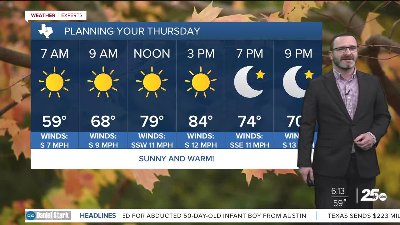


CENTRAL TEXAS — Fog will be possible east of I-35 through 9am with sunny skies expected this afternoon pushing our temperatures into the 80s. A strong cold front will arrive this weekend.
THE BREAKDOWN:
- Fog possible east of I-35 this morning.
- Warm temperatures continue, approaching 90 tomorrow.
- Strong cold front arrives Sunday.
Good morning! We're waking up to some fog across areas east of I-35 and into the Brazos Valley this morning. As winds pick up today, that will clear most of this out by around 9am. Sunshine will be around through the day, helping to push temperatures into the mid 80s once again. Tomorrow will be even warmer as a weak cold front moves into our area. Along that cold front, the atmosphere will be squeezed, pushing temperatures closer to 90 by the afternoon. Behind that front won't be a big cool down, but highs Saturday will mellow out into the low 80s.
A strong cold front is set to blast in on Sunday as a chunk of the Polar Vortex slides down into the eastern half of the country. While it will only deliver a glancing blow to us, that will be enough to push the strong cold front in bringing highs in the 60s and morning lows in the mid 30s Monday morning! Some areas northwest of Waco could see their first freeze. This will be a short cool down though as highs will warm back closer to 80 for the second half of next week. None of these fronts are expected to bring rain.
Have a great Thursday!
Meteorologist Josh Johns
25 Weather
