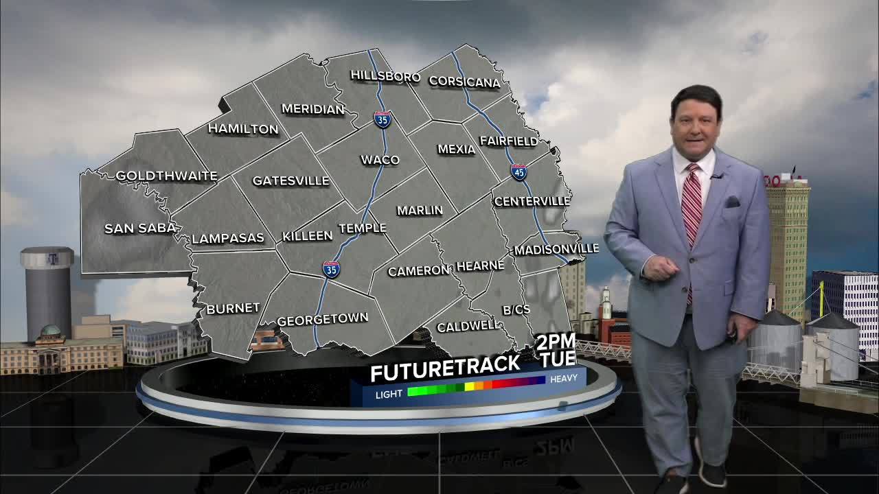


25 EVENING WEATHER — There will be a total lunar eclipse tonight. Totality will roughly be from 5 to 6am. We are expecting mostly cloudy skies to develop by then, so it may be hard to see the eclipse. Other than that, it looks mild with lows in the low to mid 60s. Tuesday will be breezy with highs in the mid 80s. Winds will be out of the south at 15-25mph.
We are keeping an eye on Wednesday for the possibility of stronger storms. Right now it looks like the northwestern half of Central Texas will have the best chance of scattered activity by the afternoon and evening hours. Some of our hi-res models can now see that far out. They have the best chance of storms farther north into north Texas. If this trend continues, we may see the best chance of storms shift to just north of our area, closer to DFW. It will be warm Wednesday with highs in the low 80s.
Thursday and Friday will bring lower storm chances. There could be a few isolated storms here and there, but rain chances will be 20-30%. Highs will be in the mid 80s both days.
This weekend will likely bring our best chance of rain and storms. A cold front will move into the region during the day Saturday. This could set the stage for another round of stronger storms in the afternoon and evening hours. This is still several days out, so placement and timing could change a bit. Rain chances will continue into Sunday as the cold front moves south of the region.
Want this forecast delivered to your inbox each morning? Sign up for the daily forecast email newsletter here.
