

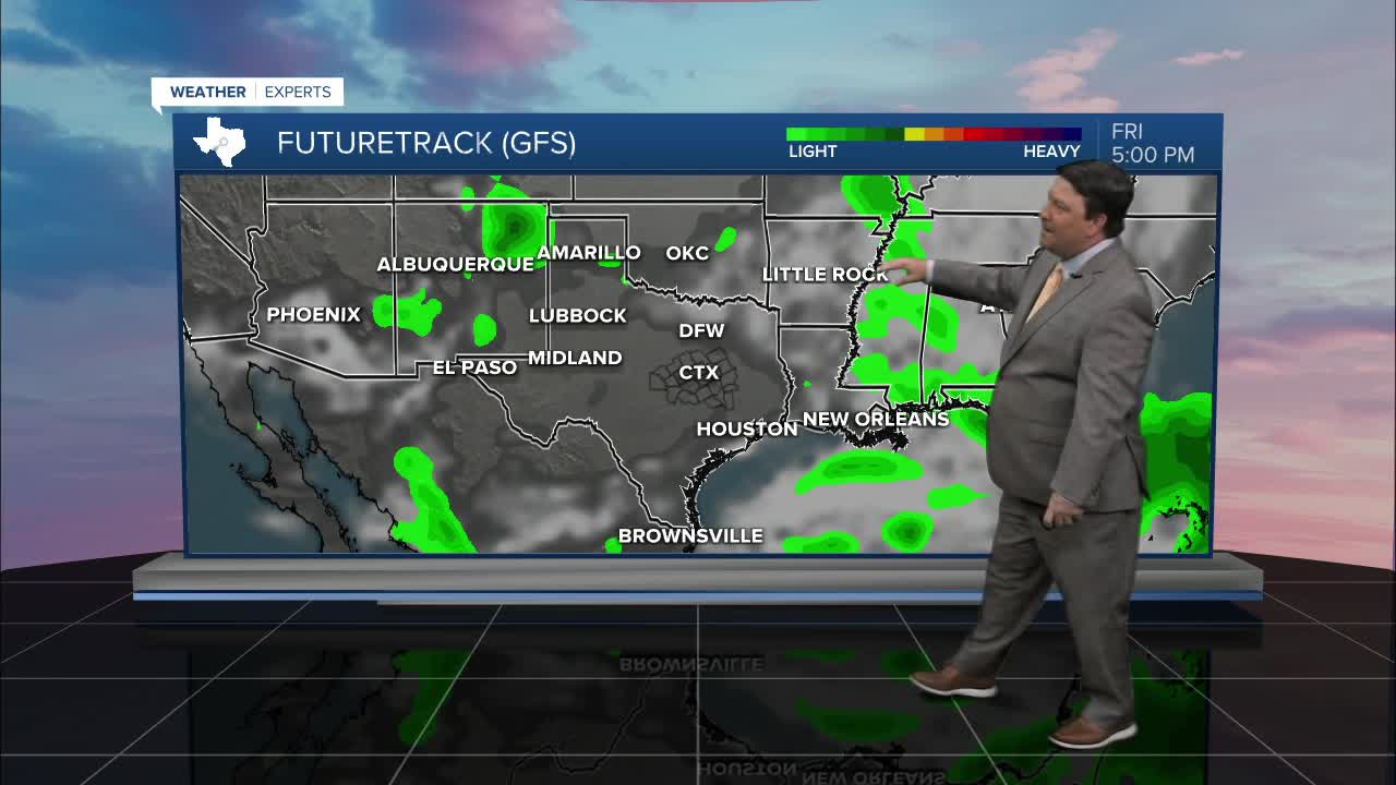


25 EVENING WEATHER — It's still hot across the area, but temperatures will likely stay in the 97-101° range Thursday through Saturday. It will feel hotter with the humidity, so the feels like temperature will likely be around 105° each afternoon.
Our front Saturday looks a bit faster, so I lowered highs closer to 100° Saturday afternoon. A few thunderstorms could develop along the front as it makes its way through Central Texas Saturday afternoon and evening. This will be widely scattered activity, so some people will see rain while others may not get a drop. North winds will take over behind the front, and that will usher in drier air for the beginning of next week.
The drier air behind the front mentioned above will make it feel more comfortable outside Sunday and Monday as the humidity gets pushed south. Highs will still be in the mid to upper 90s, but lows should cool into the low 70s Sunday and Monday mornings. Some models even suggest upper 60s! It's not big, but it should be noticeable for a couple of days.
Want this forecast delivered to your inbox each morning? Sign up for the daily forecast email newsletter here.
