

25 EVENING WEATHER — Temperatures may come down just a touch over the next couple of days as more clouds roll in from the south. Highs will be near 90° Wednesday and hopefully in the upper 80s Thursday and Friday. There could be a couple of isolated storms in the Brazos Valley Friday afternoon as moisture levels increase a bit.
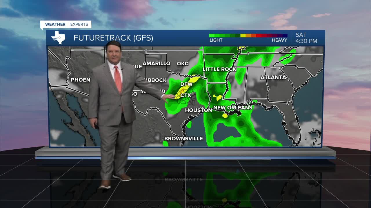
This weekend, a storm system will pass into the southern plains. The main dynamics are expected to be north and east of our area, but we may see a couple storms form in the area Saturday as a weak cold front moves through Central Texas. This front will only bring dry air in initially, so highs could soar into the low to mid 90s Saturday afternoon. Northerly winds Sunday should bring highs back down into the upper 80s.
More upper 80s and low 90s are likely next week. The models are showing another system by late next week. This could bring a slight chance of storms and possibly some cooler temperatures. How cool is still a major question, so we will keep it in the upper 80s for now.
