

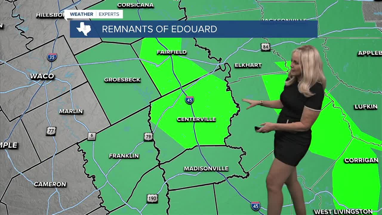


CENTRAL TEXAS — East Central Texas is finally getting its whipping from what began as Tropical Storm Edouardo. At this point the remnants of Edouardo are drenching Leon and Freestone County with 4 to 6 inches of rain Thursday. A flood warning is in effect through the early afternoon.
Much of Central Texas and especially the eastern side is under a moderate drought, but flooding is never needed. Navarro, Robertson, Limestone, Freestone, Leon, Madison, Grimes and Brazos County all remain under a flood watch. The Brazos Valley has received up one to three inches of rain in some areas, with eastern counties remaining the most impacted.
The positive news is this storm's core is located north of Navarro and is weakening. It is hitting a strong ridge which will steer it west as the day progresses. This will bring moderate to light rain toward the I-35 corridor. As we move through the overnight and into Friday morning, the rain opportunity shifts from the east to the west. This will provide rain to the very dry areas along, and west of I-35.
McLennan, Bell and Coryell have better rain chances overnight and Friday morning. Temperatures should hold below the low 90s today and maybe rise to the mid 90s on Friday with storms leaving the area mid-day.
For Labor Day weekend we can expect sunshine to return, humidity to remain and temperatures to rise closer or at 100 degrees. These conditions should provide ample opportunity for outdoor holiday fun, as long as you stay hydrated.
