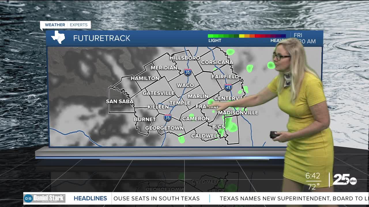


CENTRAL TEXAS — Temperatures continue to rise as we move from a misty Friday morning into a partly cloudy afternoon. Expect highs to reach the mid 80s to low 90s. These hot conditions along with a dry line to the west, and an unstable atmosphere, could produce an isolated storm strong enough to break the cap. If that happens the storm would be strong to severe. The biggest threat with a severe storm outbreak would be tennis ball sized hail and strong winds. The opportunity for flooding and a tornado remains very low. Outside of the low possibility for a storm, we will see mostly misty and cloudy skies in the morning. Then as we move toward lunchtime the clouds will decrease.
For the weekend, a possibility for an isolated storm remains low at 20% for both Saturday and Sunday. With temperatures reaching the 90s in some areas, it could be enough for a storm to break through the cap and severe weather could take over.
Most of the Central Texas area will not see anything but partly cloudy skies with hot temperatures and humid conditions. It's a day by day conditional situation so its important to pay attention to the forecast.
Late next week a cold front comes in to cool off the hot temperatures heading into next weekend.
