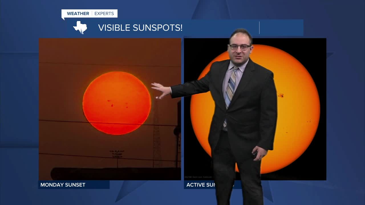

CENTRAL TEXAS — Hazy skies due to the Saharan Dust remain overhead today. The rest of the week that haze will thin and diffuse resulting in even clearer skies and probably hotter temperatures. It honestly looked like the Saharan Dust trimmed off a couple degrees to our heat (aka 97 instead of 99, etc.). So without it, we likely gain those two degrees back to our high temperatures forecast.
While an anomaly, a few spotty showers found their way into the Brazos Valley and I-45 corridor. Brief rainfall cooled temperatures into the low-90s and upper-80s momentarily before sunset. Unfortunately I think these rain showers were a fluke... but this shows that we're not directly under the heat dome with compresses the atmosphere and prevents rain completely.
Temperatures will stay around 95-99 degrees through the 4th of July with Saturday being the hottest day. Heat Index will be around 100-105 each day too. Humidity isn't crazy, in fact a bit of the wind is helping to mix out a bit of moisture during the day.
Weather models on have found enough to work with to give the region rain chances on Sunday PM or possibly Monday. Nothing definitive, but enough to introduce about a 20% chance for rain for early next week.
- 25 News Meteorologist Thomas Patrick
Want this forecast delivered to your inbox each morning? Sign up for the daily forecast email newsletter here.
