

ENTER DATELINE — For a third straight day, Tornado Watches have been issued for regions of Oklahoma and northeastern Texas... but so far Central Texas has seen none of the action. And we continue to play a cautious game where our thunderstorm chances are overall very low, but the maximum severe risks are high due to high levels of energy.
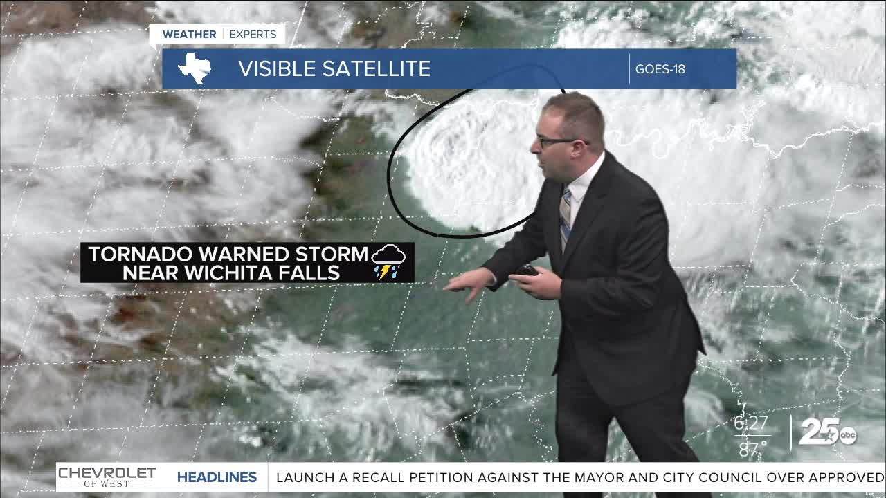
For Central Texas specifically, we watch a dry line that is over Wichita Falls to San Angelo. Any thunderstorm action will try to fire out along this sharp dry line Saturday, and a few storms near Wichita Falls have started to pop up. While energy levels and instability is sky high over Central Texas, the "CAP", which acts like a lid on thunderstorm development, is fairly strong today. This means a lot of potential storms won't be able to pop-up in the first place. This keep our overall thunderstorm chances somewhere in the realm of 5% to 10%. But it's that slim chance that keeps us cautious. Should even one thunderstorm arise in this environment, we'll have a large hail producing storm on our hands quickly.
Should any storms fire up, that window will be between 5pm and 9pm Saturday evening.
We play the exact same game Sunday. A low 5% to 10% chance for storms, but a high-end hail threat. Again, it's the dry line that'll be the focus for any storms in the first place, which will be well west of I-35. It's the same weather pattern, and generally the same weather day, high temperatures right at 90 degrees for Waco and most of Central Texas with high humidity.
Next week remains hot to start, since in the low 90s on Monday and Tuesday. Tuesday evening has a better chance for scattered thunderstorms as a weak cold front will first knock those temperatures down to the mid 80s on Wednesday. Then a more potent cold front blasts through shortly after either Thursday day or Thursday night. If it's early, temps could top up in the low 70s, but some models are later on arrival meaning mid 80s on Thursday. I split the difference for now going upper 70s.
Friday and the following weekends should be very nice with temps in the mid 70s. The euro-model goes too aggressive on cooler temps (upper 60s) during this time, in my opinion, and that may be reflected on a lot of stock phone weather apps... So just mind that.
- 25 News Meteorologist Thomas Patrick
Want this forecast delivered to your inbox each morning? Sign up for the daily forecast email newsletter here.
