

CENTRAL TEXAS (KXXV) — Rain chances increase as we head into your Wednesday. Isolated showers will be possible throughout the day and afternoon temperatures will reach the lower to middle 60s.
Thursday looks to be partly sunny to mostly cloudy with afternoon highs that will sit just a touch a warmer in the middle to upper 60s.
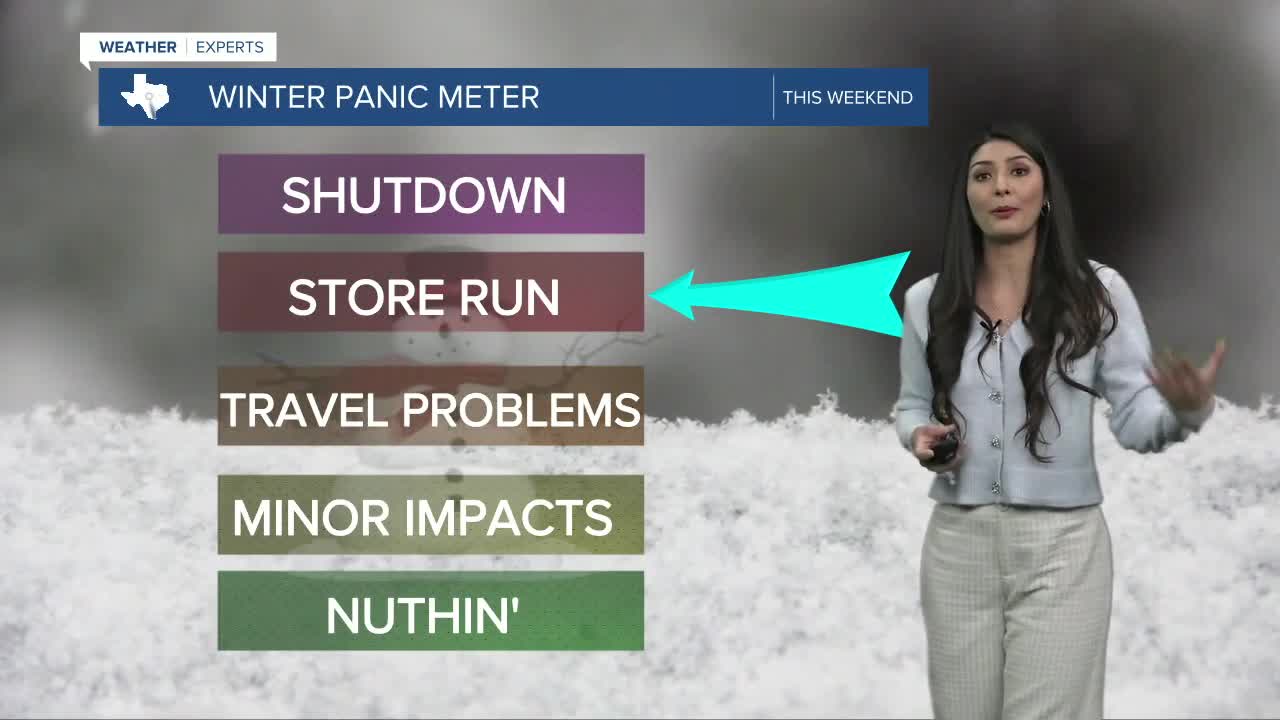
Big changes come for Friday as we track the potential for a winter storm across Central Texas and the Brazos Valley. Before the fronts arrival, highs will top out in the 50s.
By Friday evening, winds will gust from the North as the colder air begins to filter in.
When paired with the amount of moisture in the atmosphere, this will bring in high chances for wintry precipitation. Late Friday into early Saturday, any rain will begin to either fall as sleet or freezing rain. Any chances for snow will be greater for our northernmost counties.
Icy conditions are highly possible all day Saturday and Sunday as temperatures remain well below freezing.
Moderate to heavy accumulations of snow, sleet, or ice are likely across the region. In addition, dangerous cold temperatures are through Monday morning.
