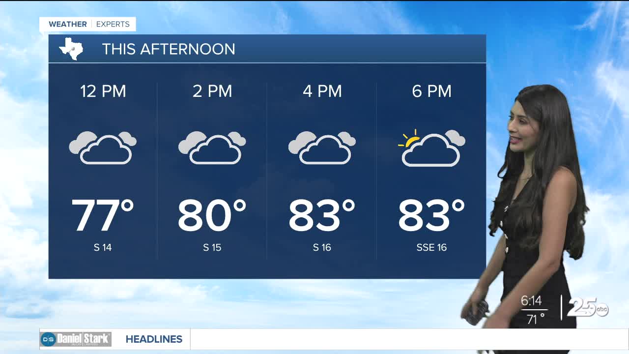


Happy Tuesday! Weather conditions for today across the region will feature mostly cloudy skies, breezy south winds, high levels of humidity, afternoon highs in the low to middle 80s, and increased chances for wet weather come late in the day.
A few storms may develop in west Texas this afternoon. One or two of these could make it into our far western areas late today into our early Wednesday morning.
We should see a slightly better chance for scattered showers and storms Wednesday. If storms develop, there should be enough instability for a few stronger storms with gusty winds and hail. Highs will make it into the low 80s under mostly cloudy skies.
We get a break from the rain by Thursday and Friday as they look to be quiet as of now with highs in the mid 80s both days.
Looking ahead into this weekend, a cold front is expected to reach Central Texas by Saturday morning. Highs Saturday will likely be in the morning in the low 70s, but we should drop into the 60s with a gusty north wind through the afternoon hours Saturday. A few showers and storms may occur along and behind the front.
The rain looks to exit by Sunday afternoon, leaving us with a chance to perhaps plan some outdoor activities later into the weekend.
