

Happy Friday Central Texas and the Brazos Valley! This end to the work week will feature partly sunny skies, warm afternoon temperatures, and windy conditions out of the south.
Daytime highs will reach the middle 80s once again, but the south winds really do ramp up today with gusts that could reach up to 30 mph.
This evening will feature temperatures in the upper 70s around dinnertime. However, the winds will still be quite present. Perhaps it's best to dine indoors for today. Skies will also remain partly cloudy for this evening.
Overnight and ahead of a cold front, the cloud cover will increase and temperatures will hover around the upper 60s and lower 70s.
Expect winds to turn to cooler northerly winds by tomorrow morning as the front begins to overtake the region. Gusts could reach up to 30 mph and temperatures will fall into the 60s and 50s Saturday afternoon.
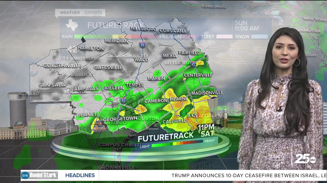
Not only are we cooling things down, but we are also bringing in some wet weather. Expect scattered showers and storms for your Saturday.
Sunday will be your better outdoor day. We will start of chilly in the upper 40s, but highs should make it into the lower 70s in the afternoon under partly cloudy skies.
The break from the rain is short lived because another system will approach the area Monday and Tuesday. The cool air mass will still be present at the surface, so highs will be in the 60s Monday and close to 70° Tuesday. Showers will be possible both days.
Want this forecast delivered to your inbox each morning? Sign up for the daily forecast email newsletter here.
